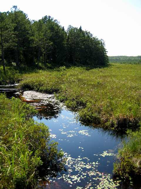
David Zavadsky Home About This Site Travel Photos Day Trip Photos Beer Adventures
 

Slow Stream

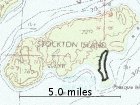
July 27, 2007; Stockton Island: Here's a view from the Tombolo Trail of a small stream that lazily makes its way to Lake Superior. There is a somewhat tilted bridge that crosses the bog area of the tombolo. The main part of Stockton Island is in the backgrond. At 7.5 miles long and 2 miles wide, Stockton is the largest island in the National Lakeshore and the second-largest island in the Apostles, second only to Madeline.

 
Bayfield 2007

Central Waters
Basswood from Bayfield
Raspberry Island
York Island
Lightkeeper
Sandspit Trail
Calm Waters
Raspberry Island Beach
New Light
Visiting the Island
Iron Bridge
Local Ravine
Cliffs
Sea Caves
Sandstone Layers
In the Shade
Red Granite Falls
Doughboy Trail
Brownstone Falls
North Country
Julian Bay Trail
Lagoon Outlet
Slow Stream
Presque Isle Docks
Crack from Above
Sea Caves and Eagle Island
Eroded Sandstone
Rocky Beach
 
 
map


Stockton Island, July 27, 2007. Distance: 3.49 miles; Time: 1:03:02.

Plot courtesy of Adam Schneider's GPS Visualizer.


© 1996-2012 David Zavadsky